Cartographic design
Research and development of a graphic system for displaying and presenting information gathered by citizens during participatory workshops organized by the EGEB.
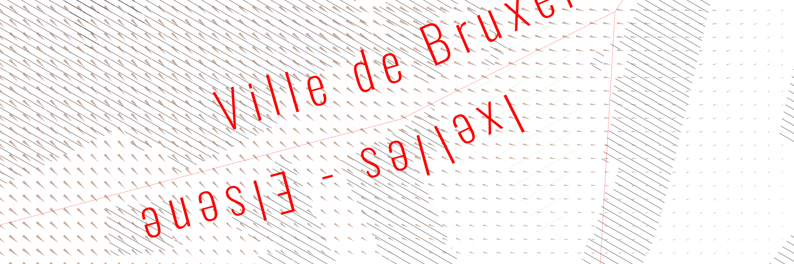
As the EGEB projects deal with the issue of water in an urban environment, particular attention has been paid to representing the topography of the areas concerned, by generating variable paterns, the size and orientation of which are related to the direction of the slope and its degree of inclination.
A specific rendering engine was also developed as part of this project on Waend.
Timeframe :
2016
Client :
Etats Généraux de l'Eau à Bruxelles