Metrolab BrabantSZenne
Mapping exhibition of a territorial research action
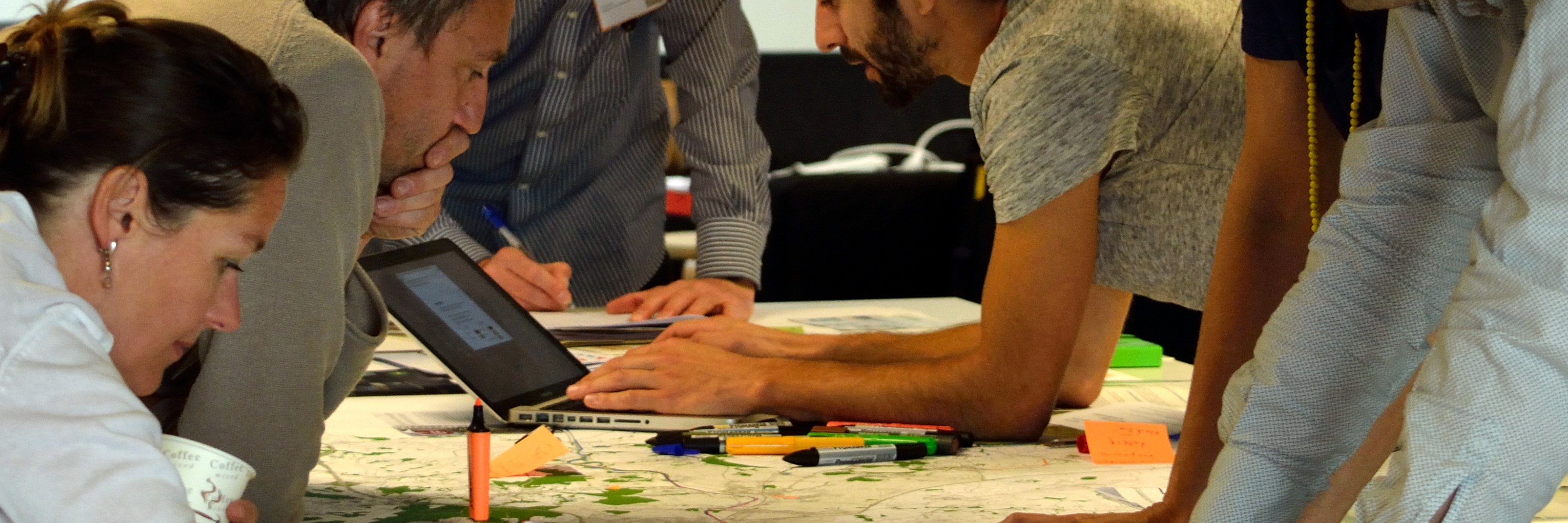
The Metrolab brabantSZenne was a territorial research-action experiment aimed at the collaborative design of a promenade and green infrastructure along the Senne and the canal through Brussels and the two Brabants. Atelier cartographique provided the scenography for the exhibition of the first interregional studio and developed a prototype web mapping application to test the meeting of geographical data from scientific research and information from local partners to facilitate collaboration between different stakeholders on water-related spatial planning issues.
The prototype validated the initial concept and some of this research has been continued as part of the wænd .