Terre en vue
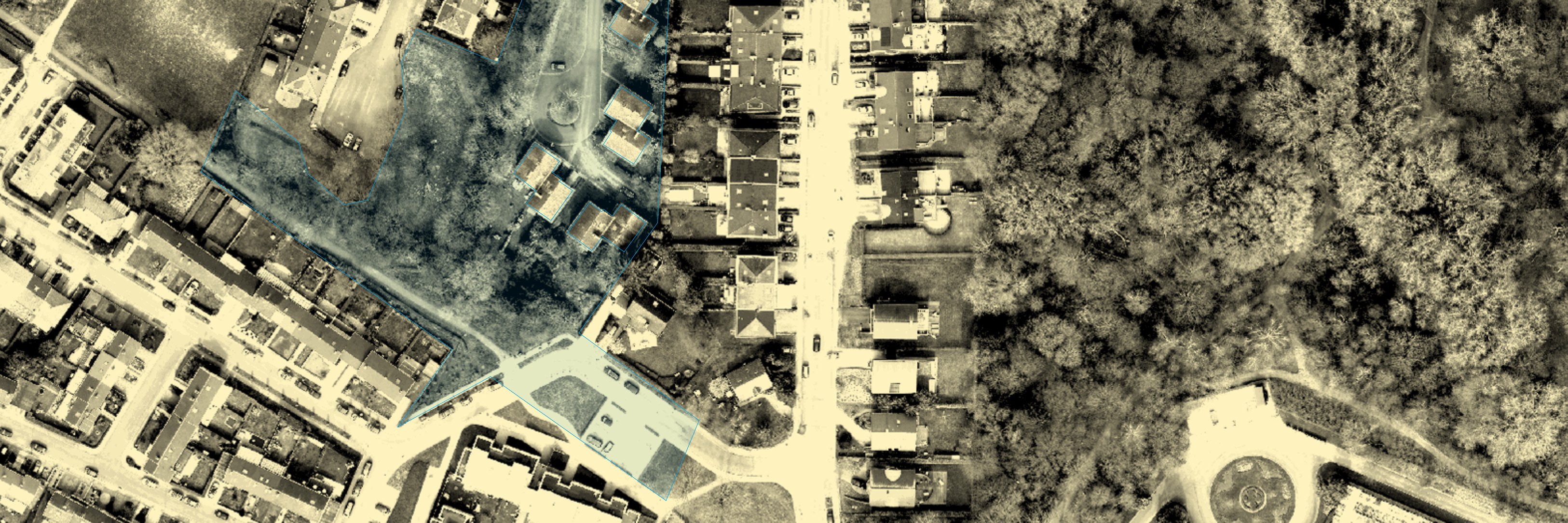
Development of an online Geographic Information System (GIS) dedicated to analysing the agricultural potential of the Brussels-Capital Region and monitoring projects to set up new farms.
The GIS is integrated with a publication platform, enabling project project partners to annotate and supplement the spatial analyses spatial analyses with field information and detailed local local knowledge.
Clients :
Région de Bruxelles-Capitale (Cellule Agriculture)
Partners :
asbl Terre en Vue
Timeframe :
2015 - 2016
Technologies :
PostGis, Python3 (aiohttp), 0MQ, GDAL, Mapnik, OpenLayer3,
Javascript